Results of planetary mapping are often shared openly for use in scientific research and mission planning.In its raw format, however, the data is not accessible to non-experts due to the difficulty in grasping the context and the intricate acquisition process. The OpenSpace software enables interactive contextualization of geospatial surface data of celestial bodies for use in science communication. Integrated data processing and visualization methods support interactive exploration of global maps and high-resolution digital terrain models. Application cases include high-resolution rendering of the surface of Mars, showing dynamic processes, such as concurrent weather conditions on Earth and the visualization of data from the New Horizons spacecraft, which acquired images during a single flyby of Pluto.
OpenSpace was successfully used as a novel tool for astronomers to discuss and present their findings in the Hayden planetarium, as a part of the Gaia Sprint organized by the Flatiron Institute. The project has enabled a series of public events both at the Visualization Center C and at venues in the US. Topics of these programs range from Sun Earth Interaction, NASAs MESSENGER mission to Mercury and the geology of Mars. More info can be found on: https://www.openspaceproject.com/
Ref: Globe Browsing: Contextualized Spatio-Temporal Planetary Surface Visualization, K. Blandin, E. Axelsson, E. Broberg, C. Emmart, P. Ljung, A. Bock and A. Ynnerman, IEEE Transactions on Visualization and Computer Graphics 24(1), Jan 2018.
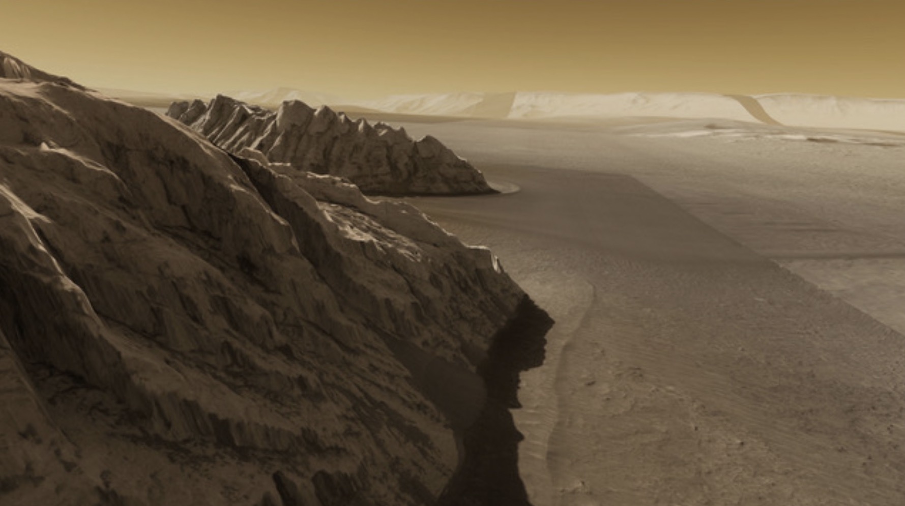
Fig: Globe Browsing. Rendering of data from MRO’s HiRiSE camera with physically based rendering of the martian atmosphere.
Gaia Sprint (astronomy conference) in the Hayden Planetarium, NYC.